


Sargents Pond
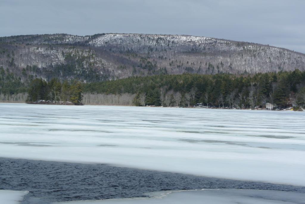
Sargents Pond: A.k.a. Lily Pond, Sergeant’s Pond (in the 19th century), Duncan Pond. Fed by Hyde’s Brook and Horne (a.k.a. Hills) Brook; drains into Tyler (a.k.a. Hersey) Brook. Sometimes spelled as Sargent’s Pond. Named for the Sargent family. 718 feet above sea level (USGS map). In the northern part of Wolfeboro.
1895, April 3 GSN: “The pond near Thomas Young’s is situated within the boundaries of the proprietary lot of Nathaniel P. Sargent, attorney at law. In legal instruments and in common talk it was invariably called Sargent’s Pond. A few years ago some careless person gave it the spurious name of Duncan’s Pond, probably from a pond of that name situated in the town of Ossipee. Recently it has been known as Lily Lake, on account of the abundance of pond lilies that grow in the waters. This name is appropriate and euphonic. Let it be so called!—B.F. Parker.”
Parker (History of Wolfeborough), p. 39: “Lily Pond is circular in form and has an area nearly 200 acres. Bordering on some cranberry meadows, but no fine beaches, on its muddy bottom grow many aquatic plants, among them a profusion of water-lilies, which in their season cover the surface of the pond with a mantle of white. Until within a few years, this body was called Sargeant’s [sic] Pond from the name of the town proprietor within the limits of whose lots it lay.”(Courtesy Dave Bowers)
Statistics
| Watershed Area | ? | Max Depth | 16 ft |
| Surface Area | 56 acres | Mean Depth | 8 ft. |
| Elevation | 718 ft. |